Kyoto to Sekigahara
Kyoto to Osaka Toge
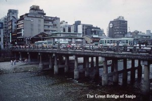
Kyoto is situated in a fault basin (bonchi) and is nestled by hills to the north, east, and west. When the Imperial palace was first established in Kyoto (Heian-kyo) in 794 AD, the surrounding ‘city’ had only one main entrance (Rashomon), to the south. This arrangement was established according to Chinese geomantic tradition, and bore little ... [Read more]
Osaka Toge to Otsu
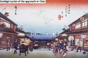
The name Osaka Toge means 'pass (toge) at the place where people met and departed'. It was common practice in the Edo period for travelers to be accompanied by their friends for a while as they departed on a journey, or to be met as they neared their destination. The barrier station at Osaka Toge was the place where, traditionally, such good-byes ... [Read more]
Otsu to Seta
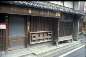
Otsu today (pop. 260,000) is the thriving commercial and administrative capital town of Shiga prefecture. Although the center is dominated by the Prefectural Government Offices, high-rise office blocks, and hotels, the old highway follows what appears to be a narrow backstreet where much of the former charm of this post-town is maintained. The road ... [Read more]
Seta to Omi Kokufu
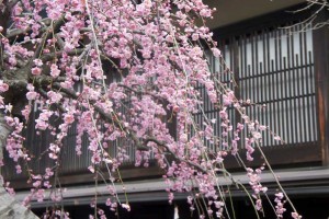
The subject of one of the ‘Eight Famous Views of Omi’ (Omi no Hakkei) by the artist Hiroshige, Seta Bridge has long evoked romantic emotions in the hearts of the Japanese. In the novel Miyamoto Musashi by Yoshikawa Eiji, for example, a tea-house on the small island which separates the two spans of the bridge is the setting for a long awaited ... [Read more]
Omi Kokufu to Kusatsu
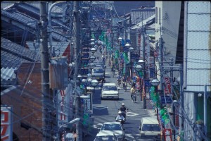
Apart from the road pattern, which traces precisely the lines of the old provincial capital at Omi Kokufu, there is nothing in the modern landscape to suggest the former significance of this site. Omi Kokufu, or ‘the seat of the provincial government at Omi’, was established around 700 on the model of the capital city at Fujiwara, complete with ... [Read more]
Kusatsu to Takamiya

At the junction of the two most important highways in Japan - the Tokaido and the Nakasendo, Kusatsu was certainly a busy post-town. The 1843 survey of post-towns reports that, in Kusatsu, the men were occupied in 'highway work' while the women 'wove at their looms'. No mention is made, however, of the people who must have operated the seventy-two ... [Read more]
Takamiya to Hikone
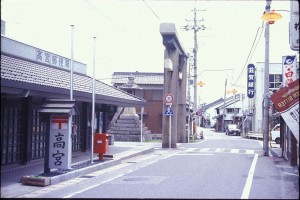
In 1843 Takamiya was easily the largest of the post-towns in Omi Province (Shiga Prefecture), at least in terms of population size. The town was inhabited by some 3,500 people although, surprisingly perhaps, there were only twenty-three inns to serve travelers on the highway. This seems all the more remarkable because Takamiya (literally meaning ... [Read more]
Hikone to Toriimoto

The original Nakasendo, after leaving the post-town of Takamiya, continued past the south-eastern boundary of Hikone without actually entering the town. Today the modern city has outgrown its old town limits and this area is now industrial suburb. As the Omi plain narrows here, the Shinkansen and the Meishin Expressway converge on the old Nakasendo ... [Read more]
Toriimoto to Surihari-toge
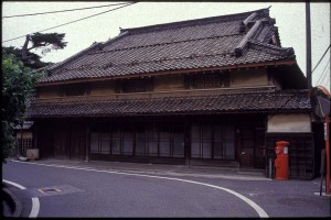
The name Toriimoto means 'at the gateway (torii) to the shrine', and refers to a large torii which once stood here, as at Takamiya today, to mark an entrance way to the great shrine at Taga Taisha. Although closely hemmed in on one side by the Shinkansen and on the other by the Meishin Expressway, Toriimoto today maintains plenty of its former ... [Read more]
Surihari-toge to Bamba

The tea-house which features in the print of Toriimoto post-town (Sixty-nine views of the Kiso Kaido) by Hiroshige stood at the top of Surihari-toge until December 1991, when it was destroyed by fire. There is still a fine view of the north-eastern corner of the Omi plain to be enjoyed from the stone platform of the old tea-house as well as a final ... [Read more]
