The highway at Shionada crosses high above the Chikuma River over a brightly painted bridge. In the Edo period the river crossing was famous for its two smaller bridges which spanned the river, touching down on the island in the middle. The river not only forms the headwaters of the Shinano River, Japan’s longest river, but was the focus of Shimazaki Toson’s ‘Chikuma River Sketches’ which gives glimpses of rural live in this area around 1900.
The old highway swings slightly south of the modern highway, but moves toward Iwamurada in just about the same time and distance as the new road, giving rise to the question of why the modern by-pass was built. The old road stays on higher ground, giving excellent views in all directions, as it covers the two and a half mile to Iwamurada.
Walking across the piedmont of Mt. Asama, the terrain is generally flat. At Iwamurada, a sharp left turn begins to lead directly up the slopes of the volcano. The post-town is busy, with a railway station, many shops and a large population. In the Edo period, however, Iwamurada did not even have a honjin or a waki-honjin. It had a large population, 1,637 in 1843, and two tonya. Iwamurada was acastle town, the home of a minor branch of the Naito family. That family gained fame when Naito Ienaga defended Fushimi castle in 1600, delaying Ishida Mitsunari for a crucial period in the month before the battle at Sekigahara.

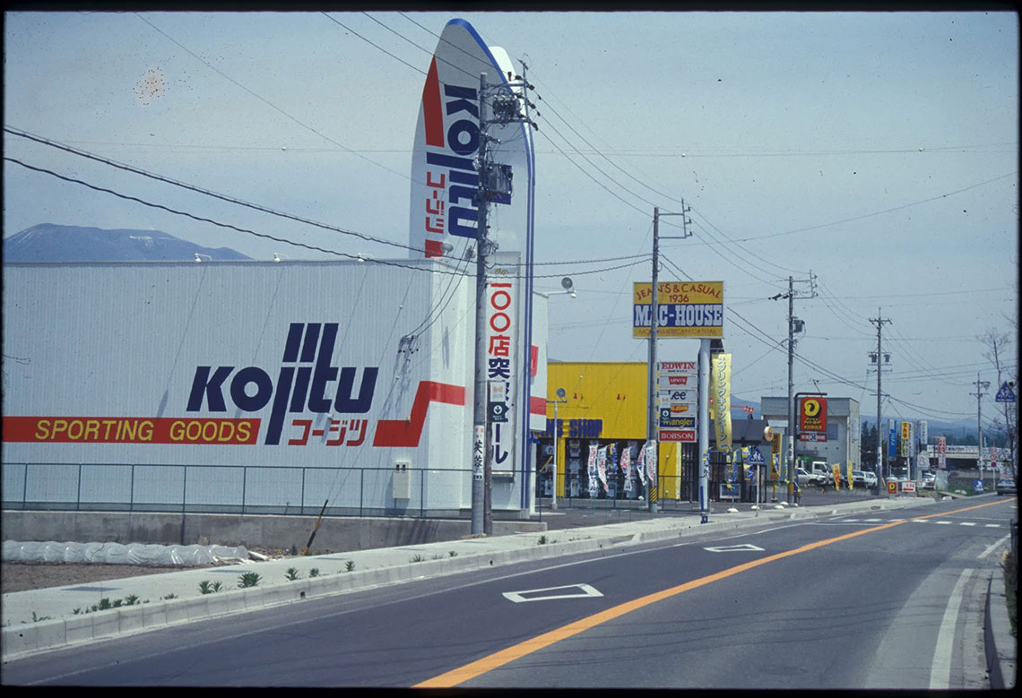
On the outskirts of the town, the road has been transformed into a modern highway, lined with truck stops and fast-food outlets. The old highway finally turns aside from this garish road a short distance before the well-preserved post-town of Otai is reached, three miles from Iwamurada.


