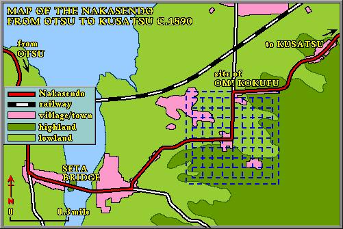
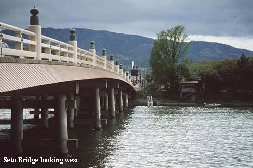
Apart from the road pattern, which traces precisely the lines of the old provincial capital at Omi Kokufu, there is nothing in the modern landscape to suggest the former significance of this site. Omi Kokufu, or ‘the seat of the provincial government at Omi’, was established around 700 on the model of the capital city at Fujiwara, complete with temples, government buildings, a square grid of roads and an outer wall. It represented the entire government and culture of Japanese civilization. Even in the Edo period it is unlikely that travelers would have been aware of the location’s former importance. Their eyes were more likely drawn to the two castles, a little to the west, which guarded the river crossing at Seta Bridge. These too have long since disappeared.


From Omi Kokufu the Nakasendo crosses the Omi plain in an unvarying north-easterly direction, roughly parallel to the shoreline of Lake Biwa, and about three miles away from it. Minor roads and farm tracks turn off the old highway at right-angles, and at regular intervals. Viewed from above the landscape looks like a patchwork, with the Nakasendo as the principal thread. This is evidence that this stretch of the old highway has a history of at least 1200 years, for the ‘patchwork’ pattern coincides exactly with the Jori system of land registration carried out at the end of the 7th century. The layout of Omi Kokufu is itself part of this patchwork, since this former provincial capital was established at the same time.
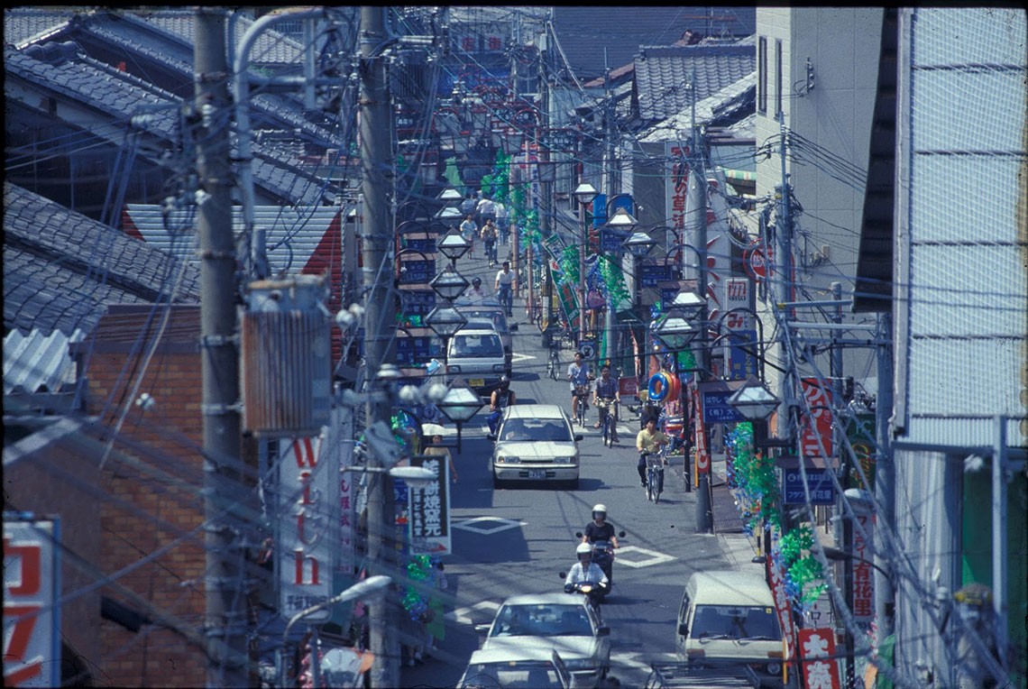
The road today is quiet, passing through farmland and the occasional village, or suburban housing block. Nearing Kusatsu the site of a much earlier post-town is passed, though no trace of it remains. A small cluster of thatched roof houses is the first indication that the old market and post-town of Kusatsu has been reached, some eleven miles from the last official rest stop at Otsu. Shortly after, a stone signpost crowned with a wooden lantern frame marks the junction of the old Tokaido and Nakasendo highways.


